

- Updated: July 4, 2026
- 6 min read
BELDE: Building a Large-scale Earth-observation Land-cover Dataset for Europe
Direct Answer
The BELDE dataset is a large‑scale, high‑resolution RGB land‑cover collection covering Europe and two additional regions (California‑Nevada and Kenya), designed to benchmark and advance semantic segmentation models for remote‑sensing applications. Its significance lies in providing true‑color imagery paired with detailed class annotations, enabling researchers to study domain‑shift challenges and improve cross‑regional generalization of Earth‑observation AI systems.
Background: Why This Problem Is Hard
Accurate land‑cover segmentation from satellite imagery underpins critical tasks such as environmental monitoring, urban planning, and disaster response. However, most publicly available datasets focus on multispectral or synthetic‑aperture‑radar (SAR) data, leaving a gap for true‑color (RGB) imagery that is directly interpretable by non‑technical stakeholders. Existing RGB datasets are either small, region‑specific, or lack consistent labeling standards, which hampers the development of robust models that can transfer across continents.
Key challenges include:
- Domain shift: Variations in sensor characteristics, atmospheric conditions, and land‑cover distributions cause models trained on one region to degrade sharply when applied elsewhere.
- Class imbalance: Natural landscapes often dominate the pixel count, while urban or water classes are under‑represented, leading to biased predictions.
- Scalability: Training deep segmentation networks on millions of high‑resolution tiles demands efficient data pipelines and hardware‑aware preprocessing.
What the Researchers Propose
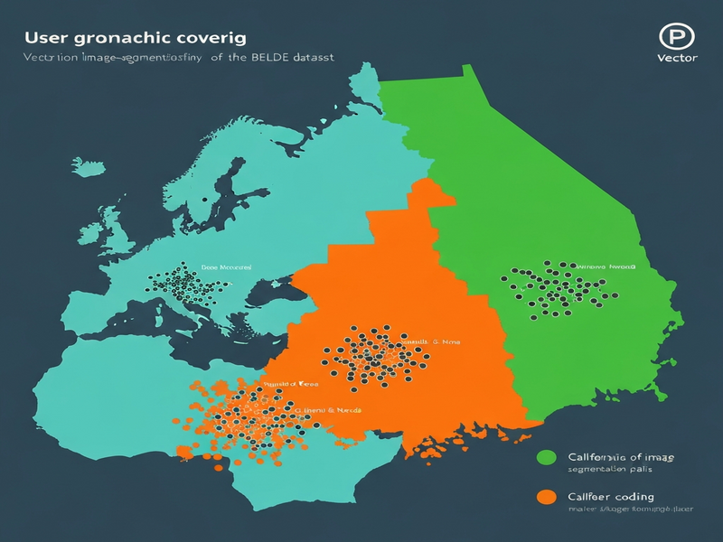
The authors introduce BELDE (Benchmark for European Land‑cover with Deep‑learning Evaluation), a curated collection of Sentinel‑2 true‑color tiles (10 m per pixel) aligned with the ESA WorldCover reference map. BELDE is released in three complementary subsets:
- BELDE‑EU: 1.2 million tiles covering the entirety of continental Europe, annotated with 12 land‑cover classes.
- BELDE‑CA‑NV: 250 k tiles from the California‑Nevada corridor, representing a markedly different climate and urban density.
- BELDE‑K: 180 k tiles from Kenya, introducing tropical vegetation patterns and savanna ecosystems.
Each tile is 256 × 256 pixels, stored in lossless PNG format, and accompanied by a mask file that encodes the same 12 classes used across all regions. By keeping the class taxonomy identical, the dataset enables systematic studies of cross‑regional transfer and domain adaptation.
How It Works in Practice
From a practitioner’s perspective, BELDE can be integrated into any standard semantic‑segmentation workflow. The typical pipeline consists of the following steps:
- Data ingestion: Load RGB tiles and corresponding masks using common libraries (e.g.,
torchvision,tf.data). - Pre‑processing: Apply on‑the‑fly augmentations such as random flips, color jitter, and Gaussian blur to improve model robustness.
- Model selection: Train a backbone (e.g., ResNet‑50, ConvNeXt) coupled with a decoder (U‑Net, DeepLabV3+) on the BELDE‑EU training split.
- Evaluation: Compute class‑wise F1 scores on the held‑out European validation set, then directly test the same checkpoint on BELDE‑CA‑NV and BELDE‑K without fine‑tuning.
- Domain adaptation (optional): Employ techniques such as feature alignment, self‑training, or style transfer to mitigate performance drops on out‑of‑domain regions.
What sets BELDE apart is the intentional inclusion of geographically and climatically diverse extensions, which forces developers to confront real‑world distribution shifts rather than relying on artificially balanced splits.
Evaluation & Results
The authors benchmarked several state‑of‑the‑art segmentation architectures on BELDE‑EU. The best‑performing model (a ConvNeXt‑based U‑Net) achieved an overall F1 score of 83.0 % on the European test set, with per‑class scores ranging from 71 % (wetlands) to 92 % (urban).
When the same model was evaluated on the out‑of‑domain subsets, performance declined noticeably:
- BELDE‑CA‑NV: Overall F1 = 66.4 % – a 16.6‑point drop, primarily driven by misclassification of shrubland and water bodies.
- BELDE‑K: Overall F1 = 58.3 % – a 24.7‑point drop, reflecting the challenge of tropical vegetation patterns not seen during training.
These results highlight two important observations:
- Even high‑capacity models trained on millions of European pixels cannot generalize reliably to distinct biomes without explicit adaptation.
- Class‑wise analysis reveals that categories with similar spectral signatures across regions (e.g., urban) transfer better than those heavily dependent on local phenology (e.g., vegetation).
Why This Matters for AI Systems and Agents
For developers building AI‑driven geospatial products, BELDE offers a realistic testbed to evaluate model robustness before deployment. Consider a scenario where an UBOS platform overview is used to orchestrate satellite‑image ingestion, model inference, and downstream analytics. By training on BELDE‑EU and validating on BELDE‑CA‑NV, engineers can quantify the risk of “silent failures” when the same service is rolled out to new markets.
Moreover, the dataset can be leveraged within a Workflow automation studio to prototype automated domain‑adaptation pipelines—e.g., coupling self‑training loops with continuous monitoring of F1 drift across regions. This aligns with the emerging practice of “AI agents” that autonomously retrain models when performance thresholds are breached, ensuring that environmental‑monitoring dashboards stay accurate over time.
Finally, organizations that embed geospatial insights into marketing or logistics can benefit from the AI marketing agents use‑case, where land‑cover classifications inform location‑based targeting, supply‑chain routing, or risk assessment.
How to Access the Dataset
The BELDE dataset is publicly available under a CC‑BY‑4.0 license. Researchers can download the full archive via the project’s GitHub release page, which provides separate tarballs for each region along with MD5 checksums for integrity verification. Detailed instructions for setting up a Docker‑based data loader are included in the repository’s README.
For organizations that prefer a managed solution, the dataset is also hosted on the UBOS homepage as part of the “UBOS for startups” and “UBOS solutions for SMBs” offerings. These hosted versions include pre‑indexed tiles, API endpoints for on‑demand tile retrieval, and built‑in versioning to simplify reproducible experiments.
What Comes Next
While BELDE establishes a solid baseline for RGB land‑cover segmentation, several avenues remain open for future research:
- Domain adaptation research: Exploring unsupervised techniques (e.g., adversarial feature alignment, style‑transfer GANs) to close the performance gap on BELDE‑CA‑NV and BELDE‑K.
- Multi‑modal fusion: Combining RGB with Sentinel‑2 multispectral bands or LiDAR-derived elevation maps could boost class discrimination, especially for vegetation sub‑types.
- Temporal dynamics: Extending BELDE with time‑series stacks would enable change‑detection models that monitor deforestation, urban expansion, or flood events.
- Fine‑grained taxonomy: Adding sub‑classes (e.g., different crop types) would increase the dataset’s utility for precision agriculture applications.
Addressing these challenges will not only improve model accuracy but also accelerate the deployment of trustworthy AI agents in real‑world geospatial workflows.
References
- Original BELDE dataset paper: BELDE dataset paper
- ESA WorldCover 2020: ESA WorldCover
- Sentinel‑2 Mission Overview: ESA Sentinel‑2
Andrii Bidochko
CTO UBOS
Andrii Bidochko is an AI entrepreneur and researcher focused on AI agents, reinforcement learning, and autonomous systems. He writes about the technologies shaping the future of machine intelligence, from frontier models and agent architectures to real-world AI applications.